
Business Details
Expert Land Surveying & Engineering Services in Fenton, MI
Fenton Land Surveying & Engineering has established itself as a trusted provider of land surveying and engineering solutions, serving both public and private sector clients across Genesee, Livingston, Lapeer, Shiawassee, and Oakland counties. Our team brings over 30 years of combined experience to every project, delivering precise and reliable results tailored to residential and commercial needs. Specializing in ALTA surveys, boundary assessments, topographical mapping, and FEMA floodplain certifications, we prioritize accuracy, timeliness, and budget-conscious outcomes. With a commitment to client satisfaction, we combine technical expertise with personalized service to address complex land development challenges. Our professionals hold memberships in the Michigan Society of Professional Surveyors and Michigan Society of Professional Engineers, underscoring our dedication to industry standards.From parcel divisions to civil engineering projects, we ensure every client receives actionable insights and documentation that meet regulatory requirements. Operating since 2019, our team leverages decades of field experience to support infrastructure growth and property management initiatives. We maintain transparent communication throughout each project phase, ensuring clarity and confidence in our deliverables. By focusing on innovation and precision, we aim to be the preferred partner for land surveying and engineering needs in Michigan. Our office in Fenton serves as a central hub for coordinating services that align with evolving client demands.
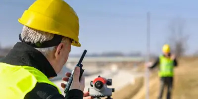
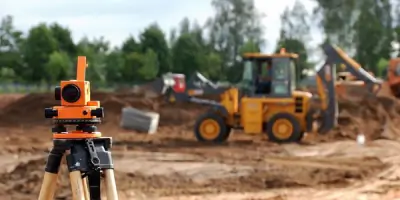

Services
ALTA Surveys
Boundary Surveys
Topographical Surveys
FEMA Floodplain Surveys
Land Planning
Parcel Divisions
Grading Plans
Soil Erosion Control
Civil Engineering
Flood Certification
Highlights and features
- We have over 30 years of combined experience in land surveying and engineering.
- Our team serves both public and private sector clients across five Michigan counties.
- We deliver projects on time and within budget for residential and commercial needs.
- We specialize in ALTA surveys, boundary assessments, and FEMA floodplain certifications.
- Our professionals maintain memberships in the Michigan Society of Professional Surveyors and Engineers.
Services
ALTA Surveys
ALTA surveys provide detailed property assessments meeting national standards for commercial transactions. Our team ensures compliance with title insurance requirements, mapping boundaries, easements, and improvements. Clients receive precise documentation to support real estate decisions.
Boundary Surveys
Boundary surveys establish legal property lines using historical records and field measurements. We resolve disputes, support land development, and ensure compliance with local regulations. Clients gain clarity on ownership and zoning constraints.
FEMA Floodplain Surveys
FEMA floodplain surveys determine property elevation relative to flood risk zones. We prepare flood elevation certificates and LOMA applications to support insurance requirements. Clients receive actionable data to mitigate flood-related costs.
Land Planning
Land planning services optimize property use for residential, commercial, or industrial development. Our engineers design subdivisions, grading plans, and erosion control measures. Clients benefit from efficient layouts that meet regulatory standards.
Topographical Surveys
Topographical surveys map natural and man-made features of a property. We capture elevation data, vegetation, and structures to support construction and design projects. Clients receive detailed terrain models for accurate planning.
People
Jason White
Professional Surveyor
Jason White, a licensed Professional Surveyor, leads field operations with expertise in boundary analysis and land development. His 15+ years of experience ensure precise data collection and client-focused solutions for complex surveying challenges.
Jennifer Miller
Professional Engineer
Jennifer Miller, a certified Professional Engineer, specializes in civil engineering design and regulatory compliance. With 12 years in the field, she oversees project planning and technical documentation to meet client objectives and industry standards.
Rade Beslac
Surveyor
Rade Beslac contributes extensive field experience to boundary and topographical surveys. His attention to detail and knowledge of Michigan's terrain enhance project accuracy, supporting timely delivery of surveying and engineering services.
Questions
What services does Fenton Land Surveying & Engineering offer?
We provide ALTA surveys, boundary assessments, topographical mapping, FEMA floodplain certifications, land planning, and civil engineering solutions for residential and commercial clients.
Which areas do you serve?
We operate across Genesee, Livingston, Lapeer, Shiawassee, and Oakland counties in Michigan, supporting both public and private sector projects.
How long has your team been in business?
Our team brings over 30 years of combined experience in land surveying and engineering, with the company established in 2019.
Do you offer emergency surveying services?
We prioritize scheduled projects but can accommodate urgent requests during regular business hours. Contact us for availability.
What payment methods do you accept?
We accept payments via check, credit card, and cash for your convenience.
Can I schedule weekend appointments?
Weekend appointments are available by arrangement. Please contact our office to discuss your specific needs.