Business Details
33 Years
experience
Expert Land Surveying & Engineering in Plymouth, MI
GLA Surveyors & Engineers has been delivering precision land surveying and civil engineering solutions in Southeast Michigan since 1993. Founded by Greg L. Ash, a licensed surveyor with over 25 years of industry experience, our firm combines advanced technology with deep local expertise to serve residential, commercial, and municipal clients. Our team specializes in boundary surveys, topographic mapping, subdivision design, and infrastructure planning, maintaining rigorous standards of accuracy and client collaboration. With a proven track record in complex projects like the Western Township Utility Authority sewer extension, we prioritize efficient execution and transparent communication. Our dual-service model integrates surveying and engineering capabilities to streamline project timelines and reduce client costs.Recognized for technical excellence and personalized service, we have built lasting partnerships with contractors, developers, and government agencies across the region. Our commitment to innovation ensures clients benefit from cutting-edge tools like GPS control systems and digital terrain modeling. Every project receives tailored attention, whether it involves a single-family plot or large-scale industrial development. This dedication to quality earned us a reputation as a trusted partner for Southeast Michigan's evolving land use needs. As we continue expanding our civil engineering capabilities, our mission remains focused on delivering measurable value through technical expertise and client-centric solutions.
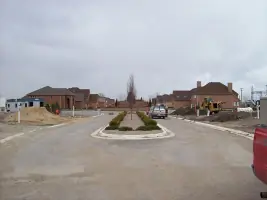
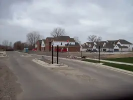
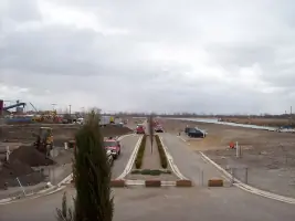
Services
Land Surveying
Civil Engineering
Boundary Surveys
Topographic Mapping
Subdivision Design
Site Development
Infrastructure Planning
Details
- Year established: 1993
Highlights and features
- We offer 25+ years of Southeast Michigan land surveying expertise
- Our team utilizes advanced GPS and digital mapping technologies
- We provide integrated surveying and engineering services under one roof
- Our staff includes licensed professionals with municipal project experience
- We maintain direct client communication throughout every project phase
Services
Land Surveying
Our land surveying services provide precise property boundary determinations using state-of-the-art GPS equipment and digital mapping technologies. We specialize in residential lot surveys, commercial site analysis, and complex easement documentation. Our licensed professionals deliver accurate legal descriptions and topographic data for development projects of all scales.
Civil Engineering
Our civil engineering division designs comprehensive infrastructure solutions including roadways, utility systems, and stormwater management plans. We handle municipal permitting, erosion control strategies, and grading calculations for residential subdivisions and industrial parks. Our engineers ensure compliance with local regulations while optimizing project feasibility.
People
Greg L. Ash
Founder
Licensed surveyor with 30+ years experience, graduated from Ferris State University in 1977. Led major infrastructure projects before establishing GLA Surveyors in 1993. Recognized for technical expertise in GPS control systems and boundary dispute resolution.
Katie Smith
Co-Founder
Brings 15 years of civil engineering experience to our firm's infrastructure design projects. Specializes in municipal utility systems and stormwater management solutions. Manages client relations and project coordination for complex development plans.
Questions
What geographic areas do you serve?
We primarily serve Southeast Michigan, including Wayne, Oakland, and Washtenaw counties. Our local expertise extends to municipal regulations and terrain characteristics across the region.
How long does a typical survey take?
Residential surveys typically complete within 3-5 business days. Commercial projects vary by scope but average 2-4 weeks. We provide specific timelines during initial project consultations.
Do you handle municipal permitting?
Yes, our team manages complete permit submittals for both surveying and engineering projects. We maintain current knowledge of local zoning ordinances and development requirements.
What technology do you use?
We employ robotic total stations, GPS systems, and 3D laser scanning equipment. Our software suite includes AutoCAD Civil 3D and specialized hydrology analysis tools for accurate data collection and modeling.